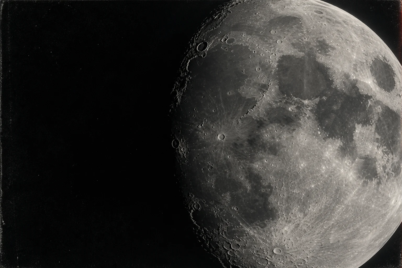
You look up and see a face. Someone else sees a rabbit. The Moon-map crowd sees something considerably bigger: the geography of a world we're allegedly not allowed to know. It's an irresistible plot device. The atlas has been hanging over the front door the whole time.
The map theory reads the lunar face as information rather than terrain: familiar-looking boundaries are proposed correspondences with a larger geography. The exciting possibility is not simply a resemblance, but an atlas whose fixed rules could reveal a place the reader hadn't already drawn into it.
The argument being tested—not a claim that the theory has been verified.The forbidden atlas, hiding in plain sight.
Read the Plasma Moon Map proposal in its publisher's own words. The appeal is the inversion: the object presented as our satellite becomes a diagram of our surroundings. Suddenly every pale boundary and dark basin looks like a place name waiting to happen. It turns looking at the sky into looking for an exit.
Give that idea a real advantage: let its advocate choose the map, orientation and coordinate rule. Then freeze them. A genuine encoded atlas should keep paying out after the obvious matches have been spent. Ask where the next feature will be before revealing it. Otherwise the Moon becomes a Rorschach test with a compass rose.
The most interesting result would not be a familiar coastline fitted by hand. It would be a boring, precise prediction that works somewhere nobody used to calibrate the overlay. Mystery sells the first click. A map that can actually navigate would sell the second.
Give the idea its own voice.
The linked Plasma Moon Map proposal describes a flat-Earth interpretation of lunar markings. It is useful to read a proponent's version rather than a critic's cartoon of it. We link it as claim context, not as validated planetary science.
Our objection is not that resemblance is forbidden. It is that freely choosing a rotation, reflection, border and scale after seeing the picture can produce a match without discovering a real correspondence.
No moving the coastline.
USGS explains why maps use different projections for different purposes. A fair comparison therefore needs its projection stated before the overlay is fitted. Pick a lunar image, landmarks and a transformation once; reserve other landmarks to test afterward.
That is our proposed test, not a result. A mapping rule that locates withheld features would be more interesting than a persuasive collage. A rule that needs new exceptions for each region has not earned a map legend.
A shape resemblance needs a fixed mapping rule and an out-of-sample prediction before it becomes geographic evidence.
A TEST, NOT A DARE.
Lock three proposed correspondences and the rotation/scale before revealing three more. Record both misses and matches. Do not redraw the coast after the reveal.
These are suggested exercises, not experiments we claim to have performed.
KEEP A PRIVATE FIELD NOTE ↗Bring the atlas. Keep the misses. If the Moon has been publishing a map, it should be able to tell us something we didn't already put into the drawing.
THE RECEIPTS / LINKS REVIEWED 25 SEP 2026
THE SOURCE SHELF.
Read the record, including its limits. A link to a claim documents what somebody says; it does not endorse it. Videos and social accounts open on their own sites—no embedded trackers or autoplay.
- Claim context / Journal of Geocentric CosmologyPlasma Moon Map Flat Earth Model ↗
The proposal in its publisher's words. The title 'Journal' is not evidence that the model is established science.
- Explainer / USGSHow are different map projections used? ↗
Why a map comparison must specify its coordinate transformation.
- Explainer / NASA ScienceMoon craters ↗
Impact geology and named lunar landforms.
Open the original source-led case file for the evidence ledger, calculations and observation tools.
OPEN THE FIELD GUIDE ↗